Overview
In this demonstration, we model, simulate, and analyze a notional satellite mission called Wildfire. This demonstration shows off some of the key features in the Sedaro Satellite Mission Module and can serve as a reference when modeling your missions in Sedaro Satellite.
Wildfire#
Satellite mission to deliver low-latency thermal imaging of active wildfires
- On-demand tasking of up to 12 imaging targets
- Uplink from Sedaro HQ
- Downlink via laser comms constellation
- Deployed from the ISS
Video Walkthrough#
Self-Paced Walkthrough#
Mission Architecture Overview#
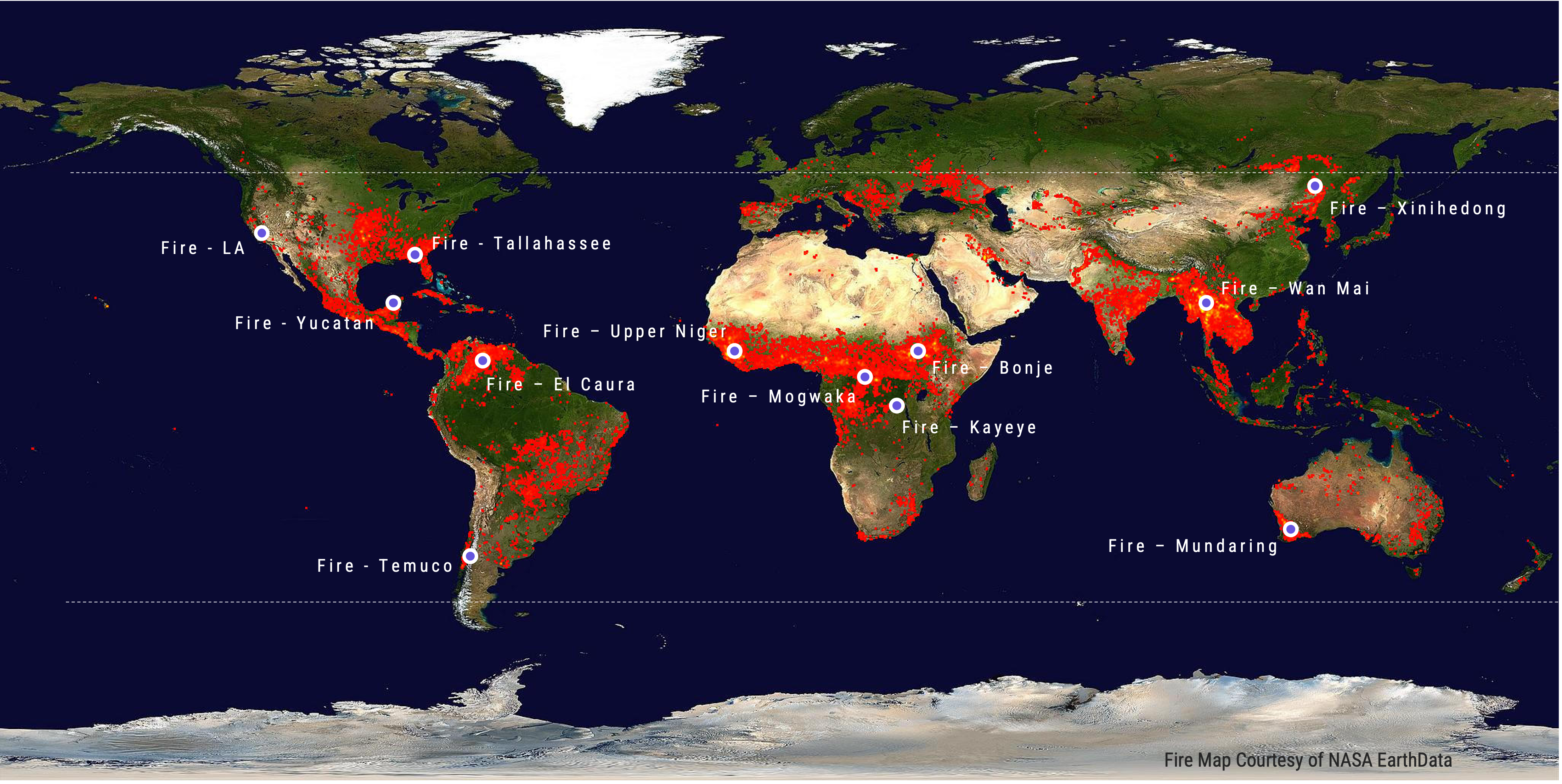
Thermal Imaging Targets
Laser Relay Constellation
Operational Modes#
- Uplink - Priority 4
- Antenna to Sedaro HQ Ground Station
- >10° satellite elevation angle condition
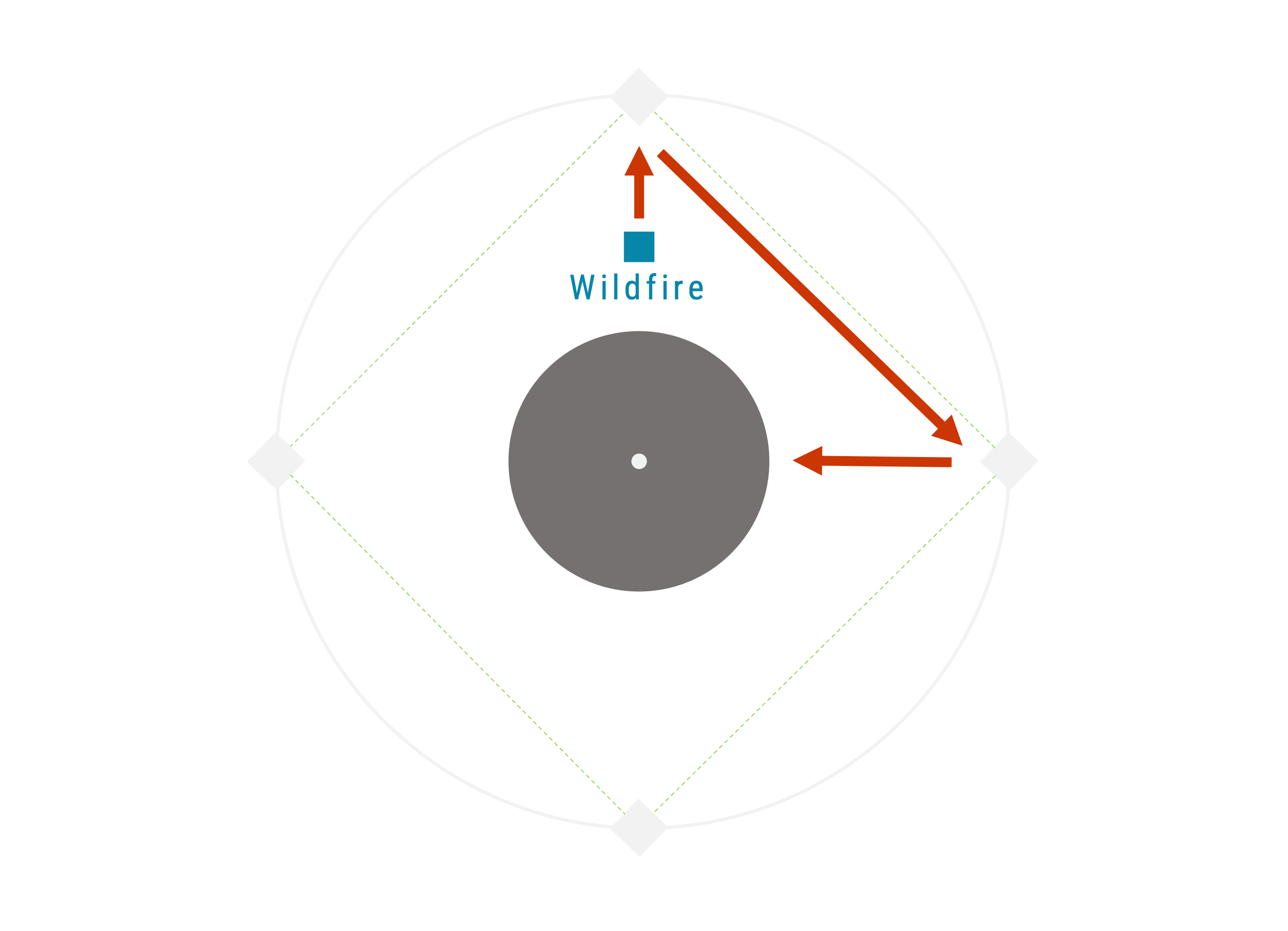
- Imaging - Priority 3
- Point Imager to Fire target
- Maximum 80° off-nadir pointing
- Crosslink - Priorty 2
- Point Antenna to relay satellite
- Line-of-sight to a relay satellite
- Idle Sunlight - Priority 1
- Maximum power/min drag pointing
- Sunlight condition
- Idle Eclipse - Priorty 0
- Minimum drag pointing
- Default mode